By Anna Skinner
The Whitestown Police Department has launched a website that allows the public to view monthly crime stats on an interactive map.
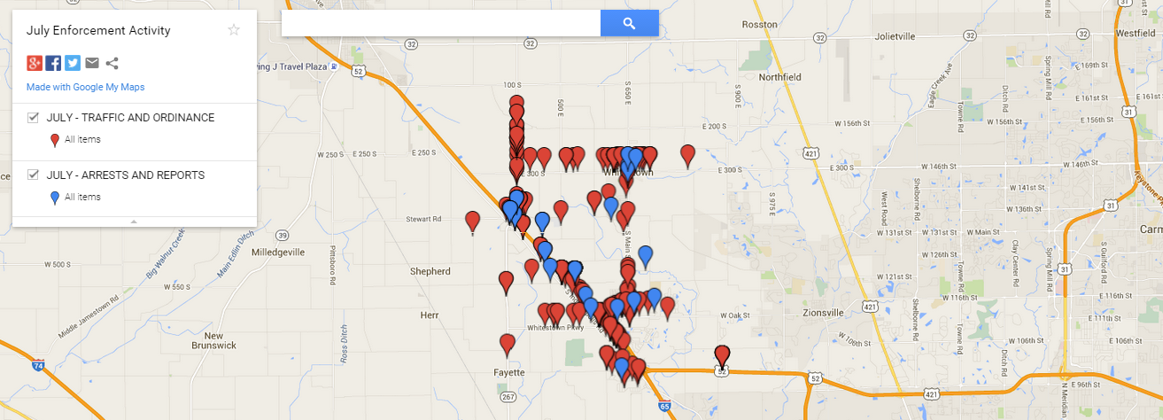
The site uses Google Maps to pinpoint police activity throughout town to show residents what the police department has been up to and special focus areas. The information on the site, although only available since June, goes back as far as Jan. 1.
“It maps out all the places where we’ve written traffic tickets, the arrest reports, and those kind of things,” said Dennis Anderson, Whitestown chief of police.

The information is made available on the 10th of each month. The department has been using the system before they made it available to the public to help plan patrol strategies and determine where they want to deploy their resources.
“It allows people in the community to see the heavy active areas where enforcements are taking place,” Anderson said.
Users of the site can click on the map and to see a pop-up box detailing the police activity at a certain location.
“It’s a level of transparency that most police agencies don’t give their community,” Anderson said. “It gives everyone the opportunity to see where the resources are being utilized. Everything is encompassed in this so you can pick and choose what you want to see.”
The Zionsville Police Department does not have a map similar to Whitestown’s but plans to implement one in the future.
“We are trying to determine who will do data entries. We are looking into it and we may indeed implement something similar to what Whitestown has,” ZPD Sgt. Adrian Martin said.
To see Whitestown’s interactive map, visit the police department’s website at whitestownpolice.org.


